Geological modelling, mine planning, drone surveys, volumetric analysis, and environmental monitoring β powered by GeoAI and 3D reconstruction.
Mining Solutions
3D subsurface models from drill data, geophysics, and remote sensing.
Automated orthomosaic, DEM, and volumetric calculations from UAV data.
Cut/fill calculations, stockpile measurement, and progress tracking.
Pit optimization, haul route design, and scheduling.
Vegetation monitoring, water quality, and reclamation tracking.
Geotechnical monitoring, slope stability, and regulatory reporting.
Real Evidence
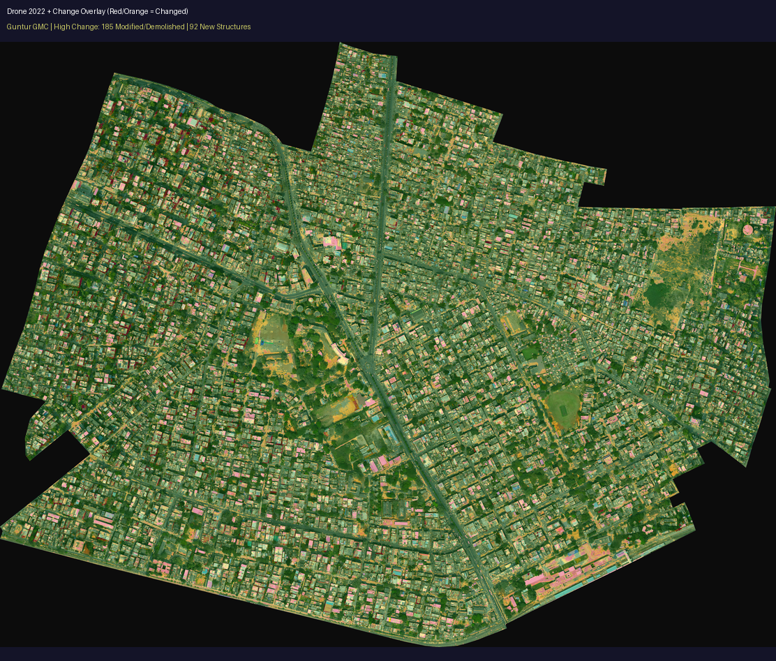
Drone-captured mining site with automated change detection overlay from geospatial analysis
GIS, remote sensing, and point cloud processing for mine sites
Photogrammetry and terrain reconstruction from drone imagery
Nebula Cloud delivers volumetric reports and geological models on schedule
From intent to verified engineering artifact.